Mapping bridges, bridging mappers: An evening with OSM and TomTom Belgium
Written by Snigdha Bansal, adapted for TomTom Open Source blog by Courtney Williamson
If you edit in OpenStreetMap, work as a GIS engineer or in a location services or mobility company, or pay attention to search terms like #geospatial and #foss, you’ve probably heard TomTom’s big news. The company has announced a new Maps Platform, which will combine TomTom’s own data with a range of sources to power the smartest map on the planet. Not only that, but the company just partnered with Amazon, Meta, and Microsoft, to form the new Overture Foundation as part of an effort to build “reliable, easy-to-use and interoperable open map data.”
Both of these initiatives put the importance of open source software and data at the forefront of TomTom’s corporate strategy—especially when it comes to the “super source” of OpenStreetMap data. It won’t come as a surprise that TomTom’s OSM engagement team has been supporting OSM’ers in their mapping efforts for almost two years now.
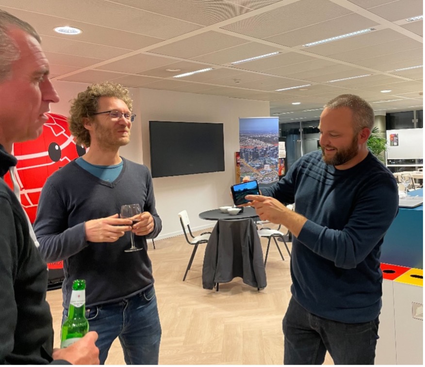
One of the most interesting projects to come out of this engagement was the opportunity to become a corporate sponsor for the Belgian chapter of OSM, which is why Ghent was the perfect location to host a TomTom/OSM collaboration: a networking meetup for mapmakers. Organized by TomTom community manager Marjan Van de Kauter and OSM Belgium members Joost Schouppe and Pieter Vander Vennet, it was an evening of networking, mapping conversations, and most importantly—pizza.
TomTom writer Snigdha Bansal travelled to Ghent from Amsterdam to experience the event in person and shared the following description of the evening:
The get-together started with a presentation from OSM Belgium. Board member Joost Schouppe introduced TomTom’ers to the Belgian OSM chapter and their various initiatives. Pieter Vander Vennet followed with a presentation on MapComplete, a topical OSM editing tool he developed.
It quickly became clear to me why OSM Belgium’s tagline is “Crazy about mapping.” The passion with which they approach mapping is what makes the OSM map so rich and useful.
I also learned that with OSM, anyone can become a mapper. Especially with tools like MapComplete, which requires little to no technical skills and provides an easy point of entry to anyone interested in open-source mapping. With it, you can create interesting thematic maps about virtually anything ranging from benches in a city to the availability of toilet paper in public restrooms. If I’m being honest, it made me want to try MapComplete out and see what my non-existent mapping skills are good for.
After these presentations, we were joined by some other OSM’ers from various cities in Belgium. Over snacks, drinks and many slices of pizza, we learned more about their backgrounds, what got them into the community and what they love about mapping.
It made me realise how diverse the OSM community really is – and I don’t just mean where mappers are based but also in their educational and professional backgrounds and what drives them to map the world. While for some, mapping and geospatial data is a part of their professional lives, for others it’s a meditative hobby that keeps the world interesting.
Ideally, this evening will be just the first of many OSM/TomTom meet-ups. It’s a great way for TomTom’ers to continue to learn about the OSM mapping model and help build the community. It’s also a good way to start deepening our connections to the open source community in general. And why not do these things while making new friends at the same time?
 How do you know if your map is good?